My head is still bobbing from the boat ride last night. Santorini is a crescent shape that is oriented North-South. The cruise was a 5-hour affair that started on the Southeastern side of Santorini, went around the Southern tip of the crescent and sailed into the caldera. The caldera itself is underwater. We didn’t make it very far North into the caldera, probably only a quarter to a third of the way up. A shame in some ways because the view of the island from the caldera itself must be spectacular. Being an evening cruise, we started losing the wind and there is a schedule to keep so alas, it was not meant to be.
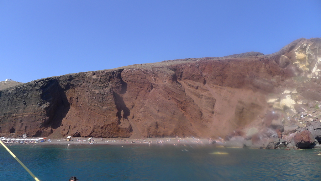
This is the Red Beach, so named because of the rock color on the cliff, which may not be entirely obvious from the picture, but is entirely obvious in person. The beach cannot be accessed by motor vehicle. There is a path that goes off to he left (in the picture) that will take a traveler to the Church of St. Nicholas, the patron saint of sailors here on Santorini. The only other access to the beach is via boat.
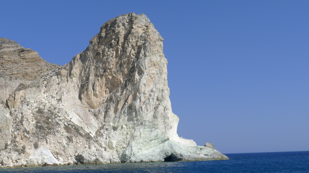
This is just a giant limestone formation that looked really cool in person. Of course, you could fill an entire blog with “cool” pictures from here.
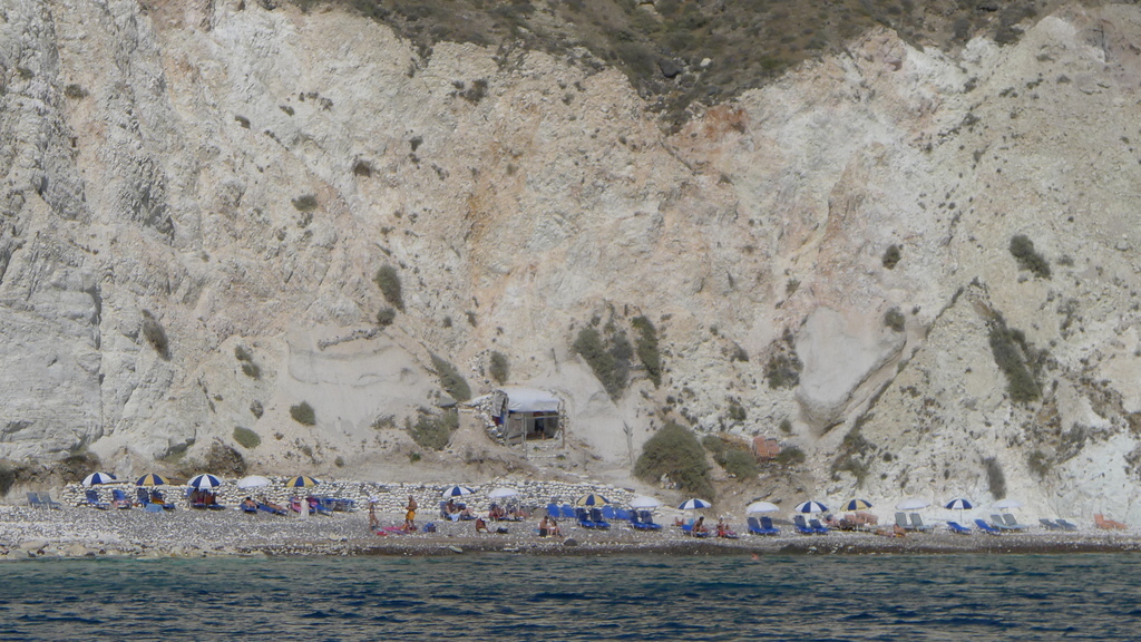
Care to guess the name of this beach? Things seem simple here.
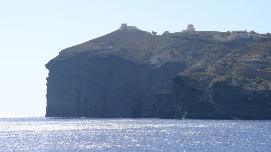
The Southern tip of the island. The picture doesn’t do it justice, if you can believe.
The rock layers are various combinations of limestone, ash and various volcanic rock.

Passing by this lighthouse marked our entrance into the caldera. It is on the Southwestern tip of the island.
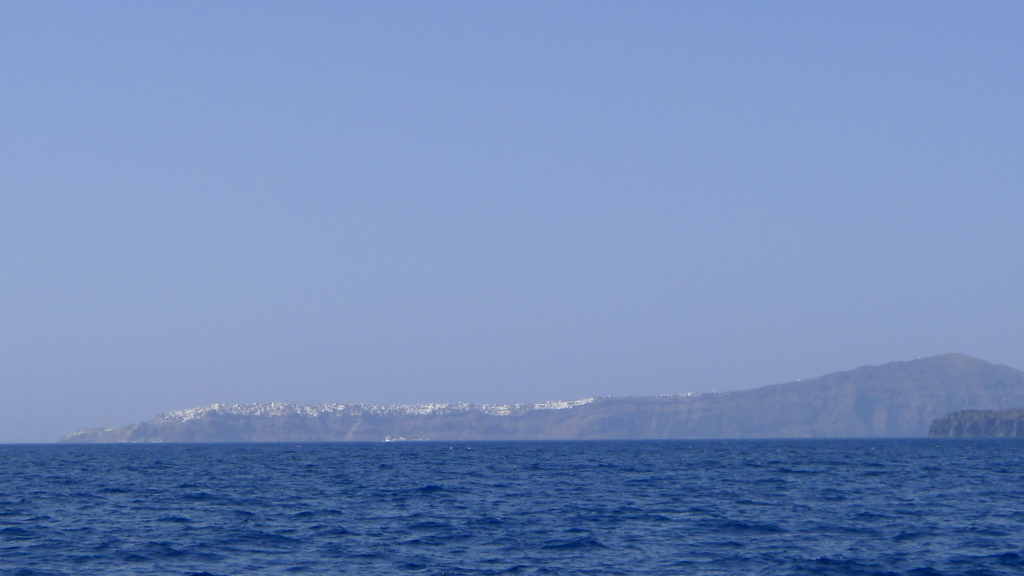
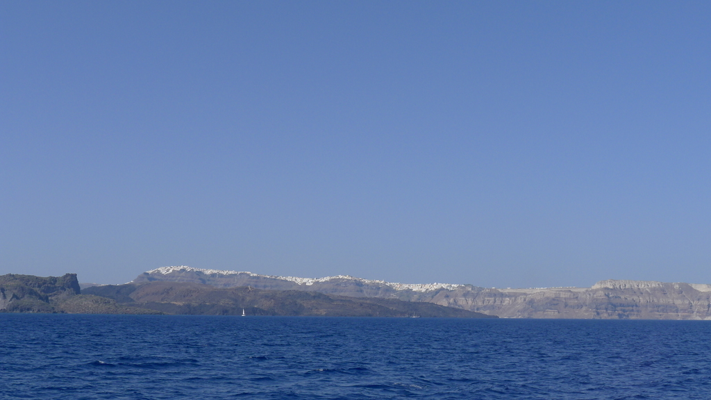
Respectively, Oia (ee-ah) and Fira (Fee-rah).
If I remember correctly, an earthquake due to the caldera swallowed 3/4 of Oia in the not too distant past. Fira is the capital of Santorini.
